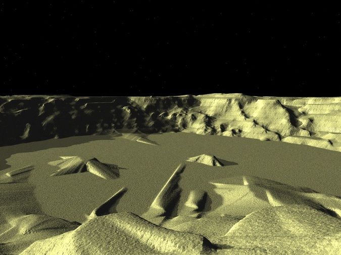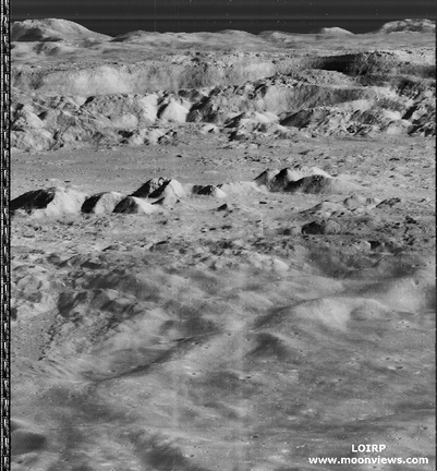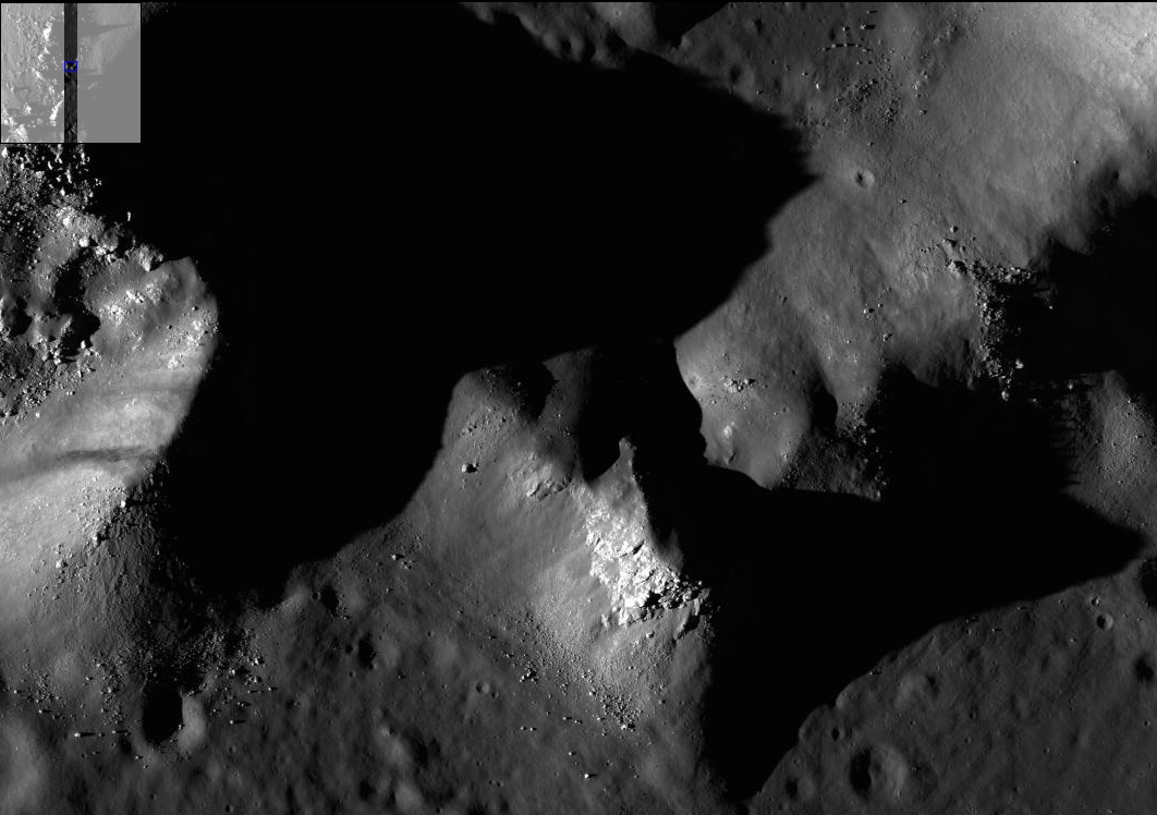

The first map I had to work with was a 1960’s topographical map of the Copernicus region which I was able to convert for use in the 3D Landscape Rendering program, Vista Pro. With this application, I was able to view the crater from numerous different angles, under different lighting conditions, and even make a little animation depicting a flight over the crater. The images produced were coarse, and without a lot of detail, but they did provide a starting point. In a rough fashion, I was now able to imagine landing in Copernicus Crater.

The model now rests on a shelf in my study and I look at it constantly as I contemplate activities for my three astronauts.
Lunatic Writer,
signing off.

